


First Legit Hail Storm of The Season Hits San Antonio
7018892985 • April 1, 2025
Ping-Pong Sized Hailstones Rain Down on San Antonio
On March 31, 2025, San Antonio experienced a severe thunderstorm that brought significant hail to various parts of the city. The storm developed rapidly over Medina County and moved southeast toward the SeaWorld area around 5:30 p.m. Residents were alerted to the potential for "ping-pong" sized hailstones, 60 mph winds and frequent lightning. (Photo credit: @FoxSanAntonio)
By 6:30 p.m. yesterday evening, the National Weather Service reported that the severe thunderstorm over San Antonio had weakened and was no longer considered severe. However, two strong thunderstorms remained in the area: one over the south side of San Antonio moving southeast at 30 mph, capable of heavy downpours, small hail, and strong wind gusts; and another near SeaWorld, moving southeast toward JBSA Lackland and Von Ormy, with potential for penny-sized hail and 45 mph wind gusts. These storms were expected to weaken over the next 1-2 hours, with rain likely ending for Bexar County by 7:30 p.m.
Ping-Pong Sized Hail
Residents shared images and videos of the hail on social media platforms. For instance, KSAT Connect featured photos showing golf ball-sized hail in areas like Stevens High School and Culebra and Westover Hills. KENS5 and FoxSanAntonio posted pics and videos from nearby residents. Check out our Insta reel with some of the most compelling highlights!
The far west side of San Antonio, including the Loop 1604 and Potranco area, appeared to be among the hardest-hit regions. Videos captured heavy rain and quarter-sized hail, reducing visibility on neighborhood streets.
Despite the intensity of the storm, the rain-cooled air led to a pleasant evening, with temperatures dropping into the upper 60s to 70s. Looking ahead, scattered storms with minimal impact are possible over the upcoming weekend, with temperatures expected to range from the mid-80s to low 90s.
Exploring Hail Formation
Hail formation—especially the large hail San Antonio experienced—is a fascinating (and intense!) weather phenomenon tied closely to the strength of thunderstorms. Why did the hail form?
Hail forms inside strong thunderstorm clouds—specifically cumulonimbus clouds—when there are powerful updrafts (rising currents of air). Here’s the science behind it:
Supercooled Water Droplets
High in the storm cloud, temperatures are well below freezing, and water droplets remain in a liquid state below 32°F. These are called supercooled droplets.
High in the storm cloud, temperatures are well below freezing, and water droplets remain in a liquid state below 32°F. These are called supercooled droplets.
Nucleus Formation
These droplets latch onto particles (like dust or pollen) and start to freeze—this becomes the nucleus of a hailstone.
These droplets latch onto particles (like dust or pollen) and start to freeze—this becomes the nucleus of a hailstone.
Updrafts
Strong winds within the thunderstorm carry the tiny frozen stones upward, where they encounter more supercooled droplets. Each time they go up, they grow in layers—like an onion.
Strong winds within the thunderstorm carry the tiny frozen stones upward, where they encounter more supercooled droplets. Each time they go up, they grow in layers—like an onion.
Hailstone Growth Cycle
The up-and-down motion in the storm can happen multiple times. Each cycle adds more layers of ice, increasing the size of the hailstone.
The up-and-down motion in the storm can happen multiple times. Each cycle adds more layers of ice, increasing the size of the hailstone.
Gravity Wins
Eventually, the hailstone becomes too heavy for the updraft to support, and it falls to the ground—sometimes at speeds over 90 mph!
Eventually, the hailstone becomes too heavy for the updraft to support, and it falls to the ground—sometimes at speeds over 90 mph!
Why Was the Hail So Big?
Several factors made this storm ideal for producing large hail in San Antonio:
- The strength of the thunderstorm determines how long hailstones stay aloft to grow
- Reports from the March 31 storm showed hail up to golf ball and ping-pong ball size—which means the updrafts were strong enough to keep those stones suspended through several growth cycles
- The atmosphere was very unstable—a sharp contrast between warm, moist air near the surface and cold air aloft
- This instability supercharged the storm, helping hailstones form quickly and grow large
- Plenty of moisture in the atmosphere (likely from Gulf moisture moving inland) provided a continuous source of supercooled water for hailstones to grow
- The storm likely had supercell characteristics, meaning it was rotating and well-organized
- Supercells are notorious for producing large hail due to their powerful updrafts and long lifespan
How Meteorologists Knew It Was Coming
Weather radar can detect hail with a feature called dual-polarization, which picks up irregular shapes and high reflectivity in storms. The National Weather Service issued alerts predicting ping-pong-sized hail due to those radar signatures and storm conditions.
Why Choose Texas Dents for PDR
Texas Dents specializes in high-quality Paintless Dent Repair (PDR), proudly serving Austin, San Antonio, and Dallas with unmatched expertise and fast, affordable service. We restore vehicles to their original condition without the need for repainting, preserving their factory finish and value. We’re proud of our exceptional reviews, reflecting our unmatched reputation for quality and customer satisfaction. If your vehicle suffered hail damage in this storm, Texas Dents is the trusted choice for flawless repairs. We've been serving San Antonio area car dealerships for more than 15 years. Connect with us online for an estimate
or you can call our San Antonio shop.
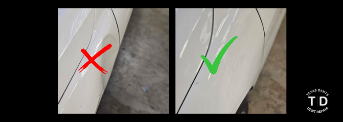
Parking lot dings happen fast. Learn how paintless dent repair helps Texas drivers fix door dings, small dents and creases without repainting.
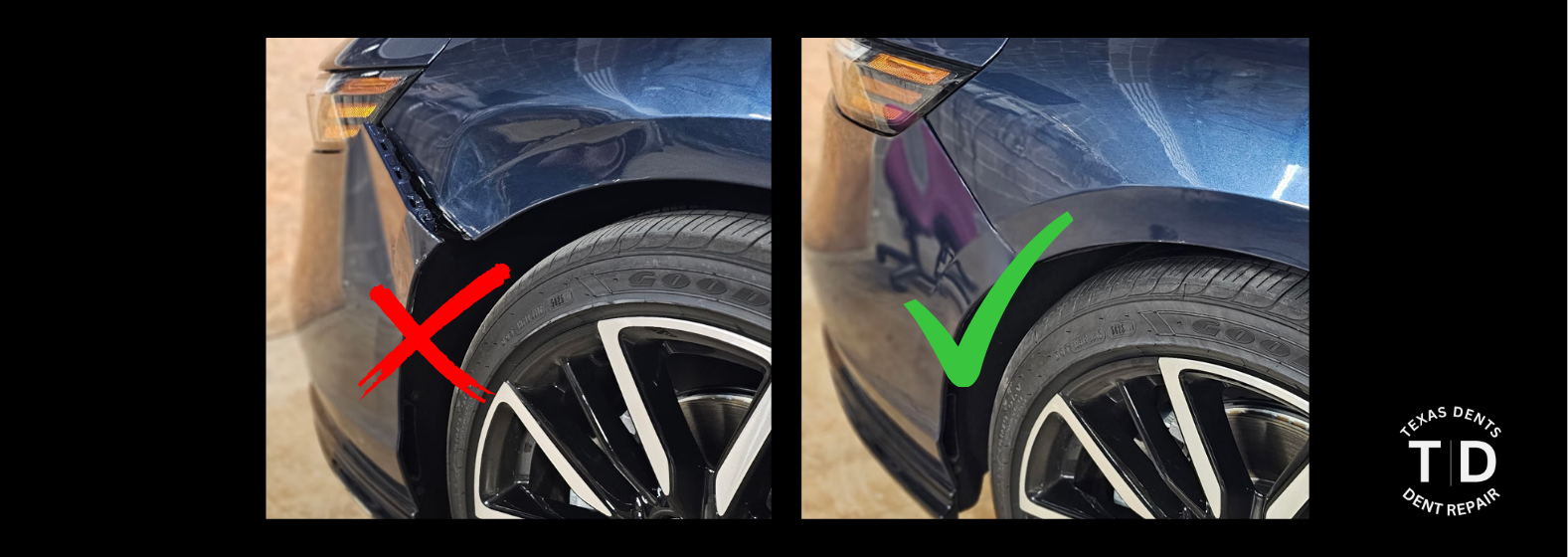
Back-to-school season is a smart time to fix door dings, hail damage and other dents with paintless dent repair from Texas Dents experts in Dallas and San Antonio.
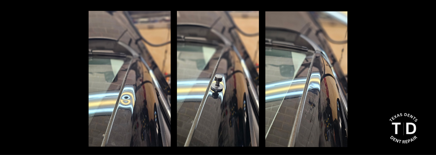
Wondering what paintless dent repair can fix? Learn how PDR handles creases, hail damage, body-line dents, larger dents and more from Texas Dents experts.
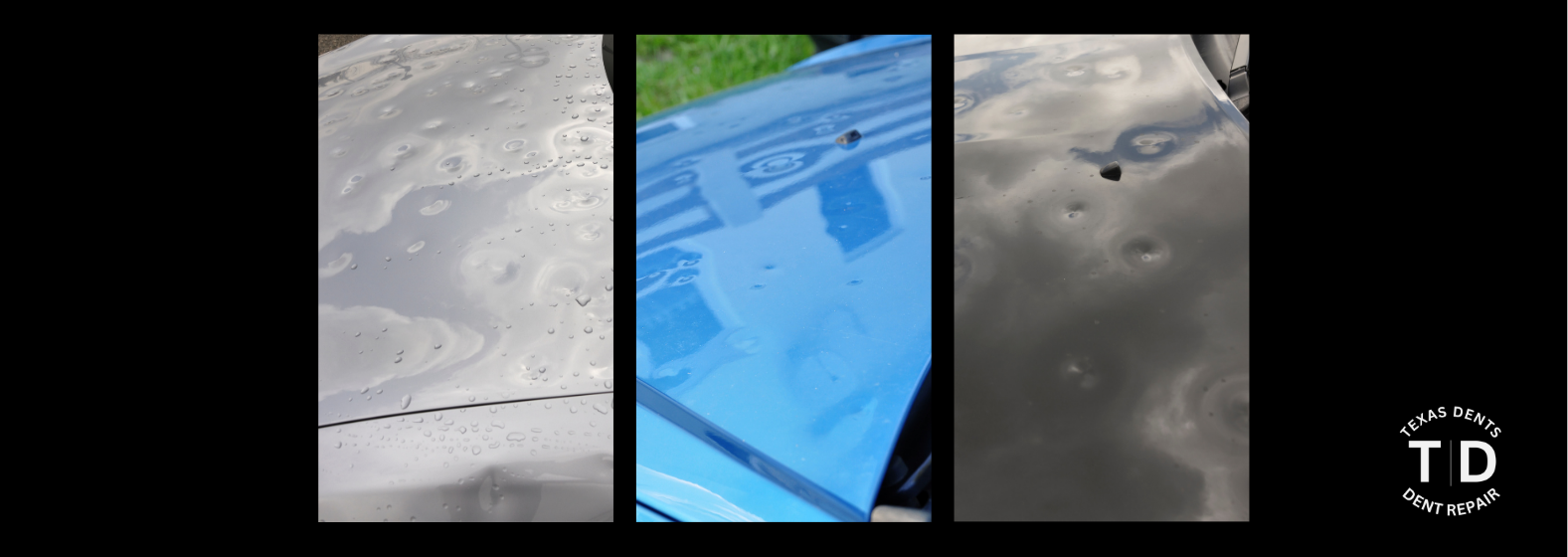
San Antonio storms bring hail, flooding and dents. Learn how PDR fixes storm damage and protects your vehicle’s value.
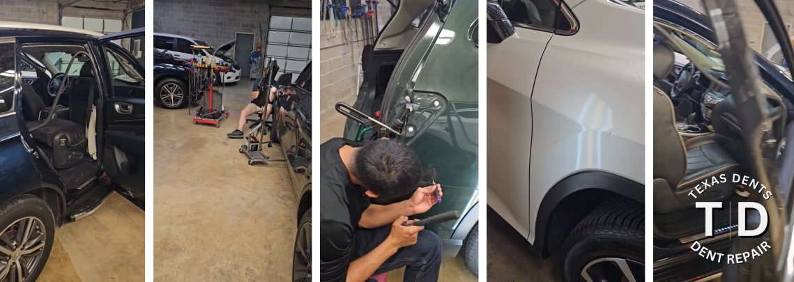
Texas hail season is back. See the biggest hailstorms in San Antonio and Dallas and learn how paintless dent repair restores vehicles after hail damage.

From everyday dings to major hail damage, Texas Dents has served San Antonio and Dallas drivers with expert PDR and trusted integrity for over a decade.

Texas-friendly tips to winter-proof your vehicle during freezes and icy mornings—easy car prep for Dallas, Austin, and San Antonio drivers.

Even small dents can lead to big repair bills. Learn why regular body inspections and early paintless dent repair save Texas drivers time and money.
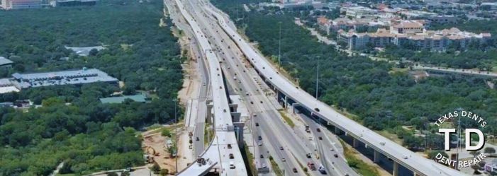
With major I-35 and Loop 1604 projects underway, small dents are inevitable. Discover how Texas Dents keeps Central Texas drivers dent-free with expert PDR.
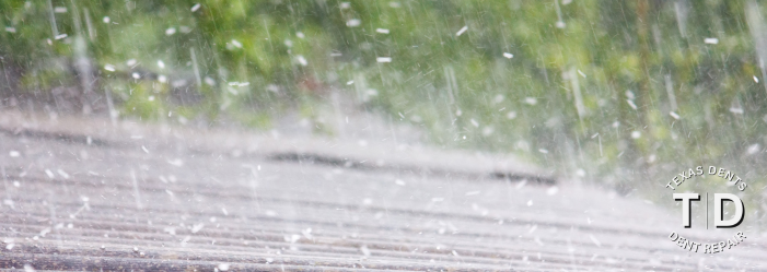
Discover how fall weather and tropical storms affect hail damage in Texas. Stay ahead with expert paintless dent repair in San Antonio & Dallas.
Share On: